2003.10: Virtual Ann Arbor
| Requires: |
|
| Link: | Virtual Reality Ann Arbor |
| Screenshots: |

|
| Class: | ENGIN 477 - Principles of Virtual Reality - Fall 2003 - Prof. Peter Beier |
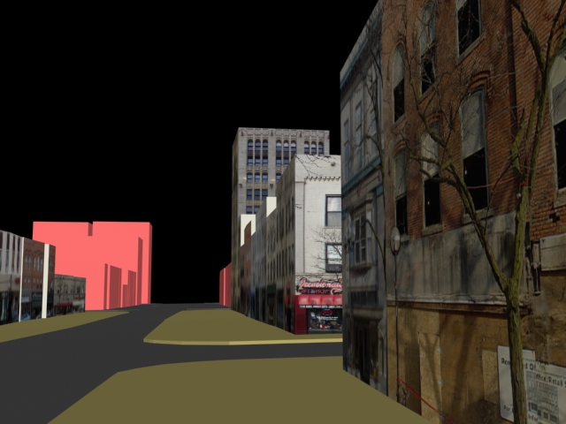
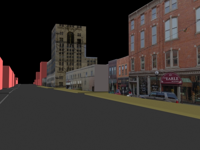
| About: |
This particular project was supervised by Art and Architecture Prof. and Ann Arbor City Consultant Sandra Arlinghaus. Sandra gave us topographical and building height data from ArcGIS, and we produced a VRML file with navigation clues like building textures, scenery, and a compass. Potential uses of future VR work for the city include urban planning and emergency training. My role on this project, aside from meeting coordinator, was to texture the building meshes in 3D Studio Max. I was also responsible for the programming in VRML; the modular level-of-detail, the compass navigation and orientation, the loader, and the user interface. Taejung handled the ArcGIS translations, generated the streets and meshes for the buildings, photographed the buildings and stretched them appropriately. Aaron made the camera positions and walkthroughs, and Adrien made the trees, benches and other artifacts. |
| Made Using: |
|
| Co-Creators: |
|